The highest mountain in Karijoki is Iso-Kakkori, which rises 145 m above sea level. There are two routes to Iso-Kakkori. The easier route starts from the hunting lodge at Luovankyläntie 202. The route runs about 1.5 km on a forest road, from where you take a 500-metre long path to the top of the mountain.
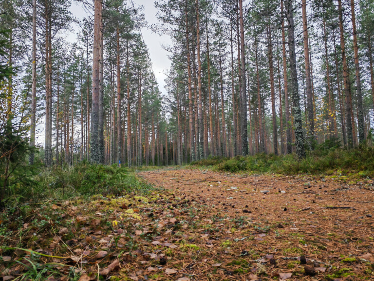
The more demanding route starts from the southern slope of the mountain, along the Sivintie road, and is marked with red waymarks. Along this route, you will find majestic rock boulders and boulder soil – ancient shore rocks.
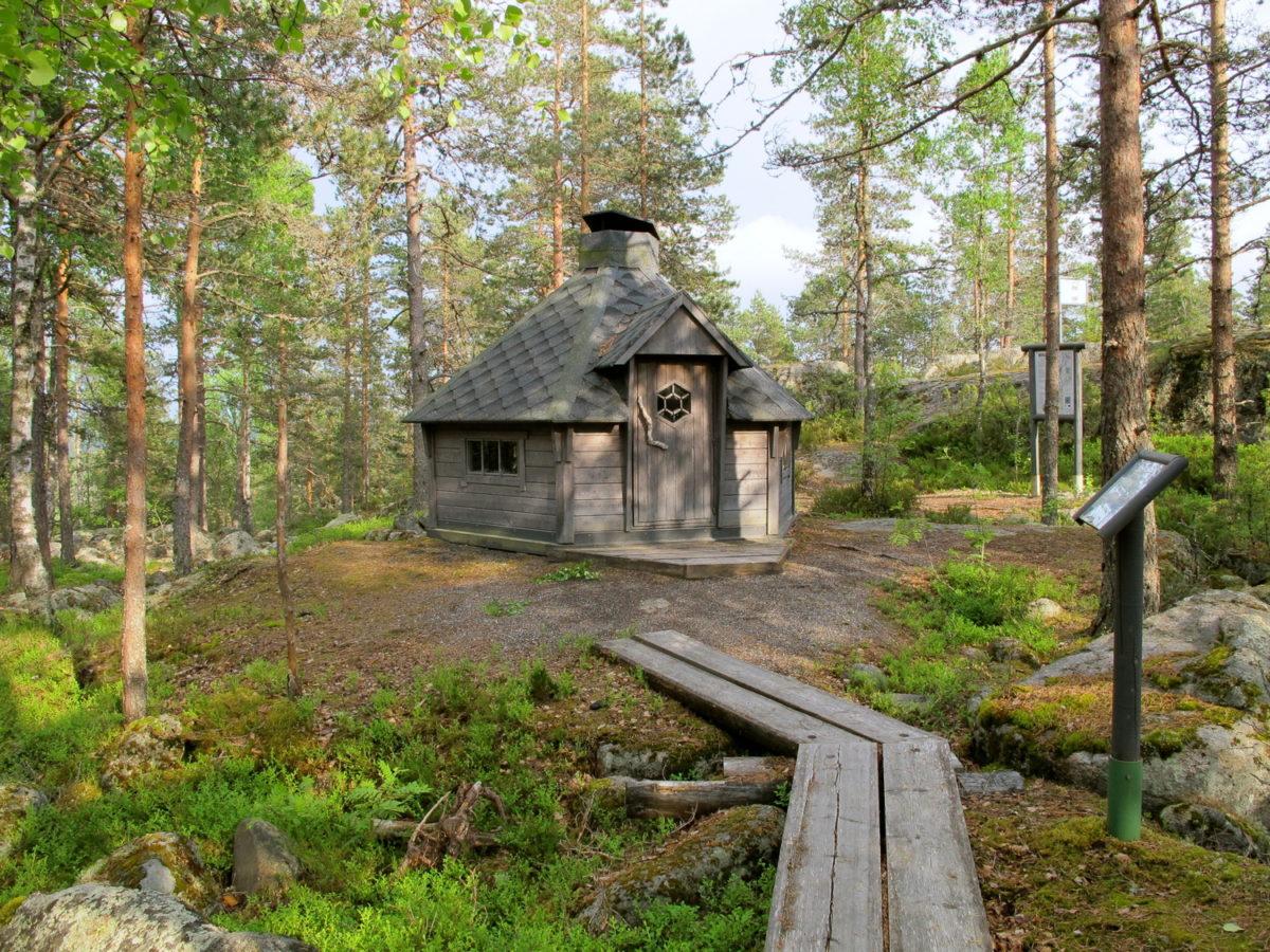
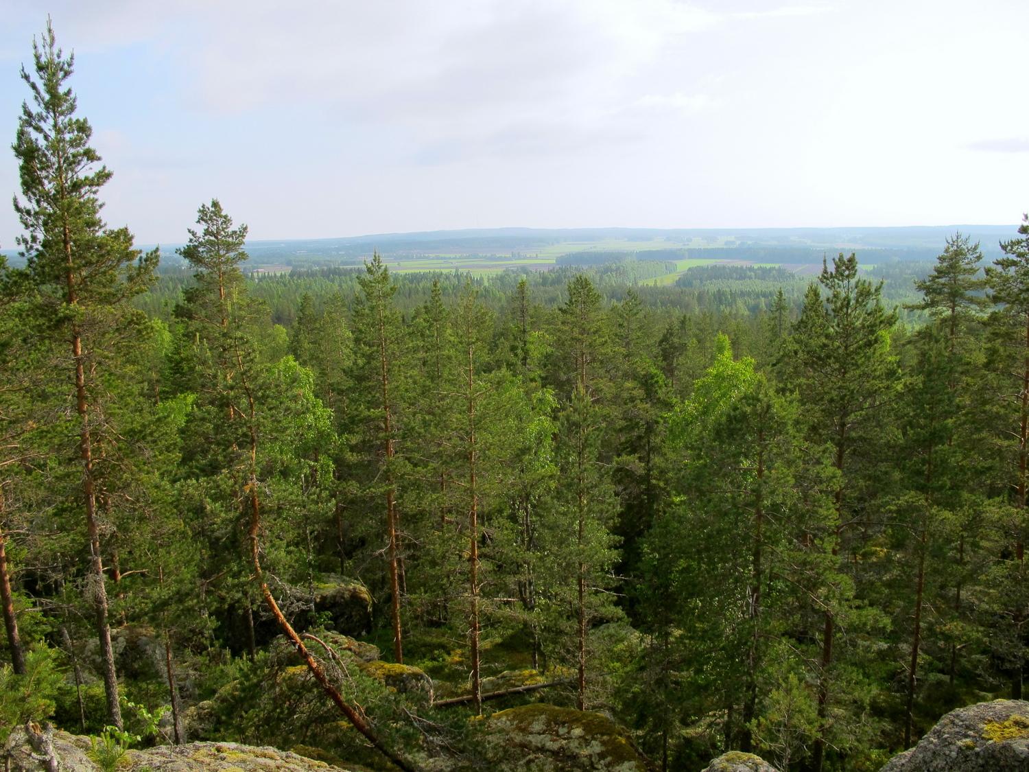
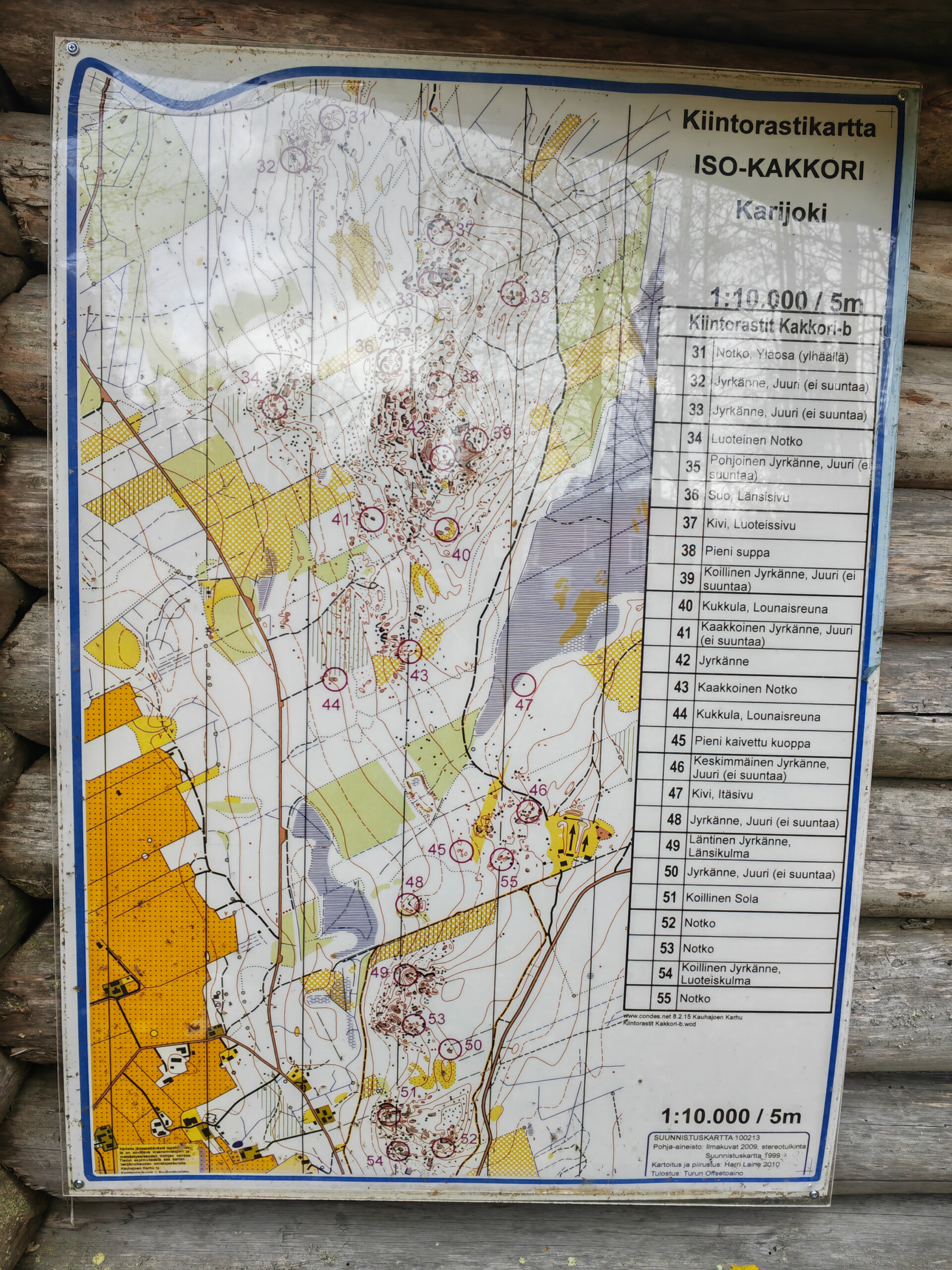
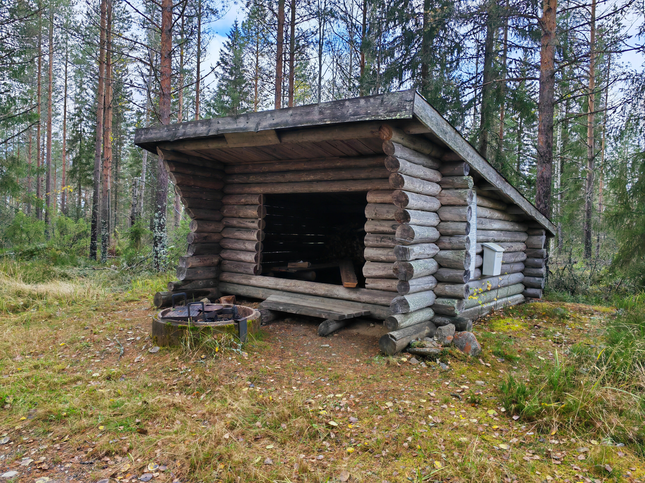
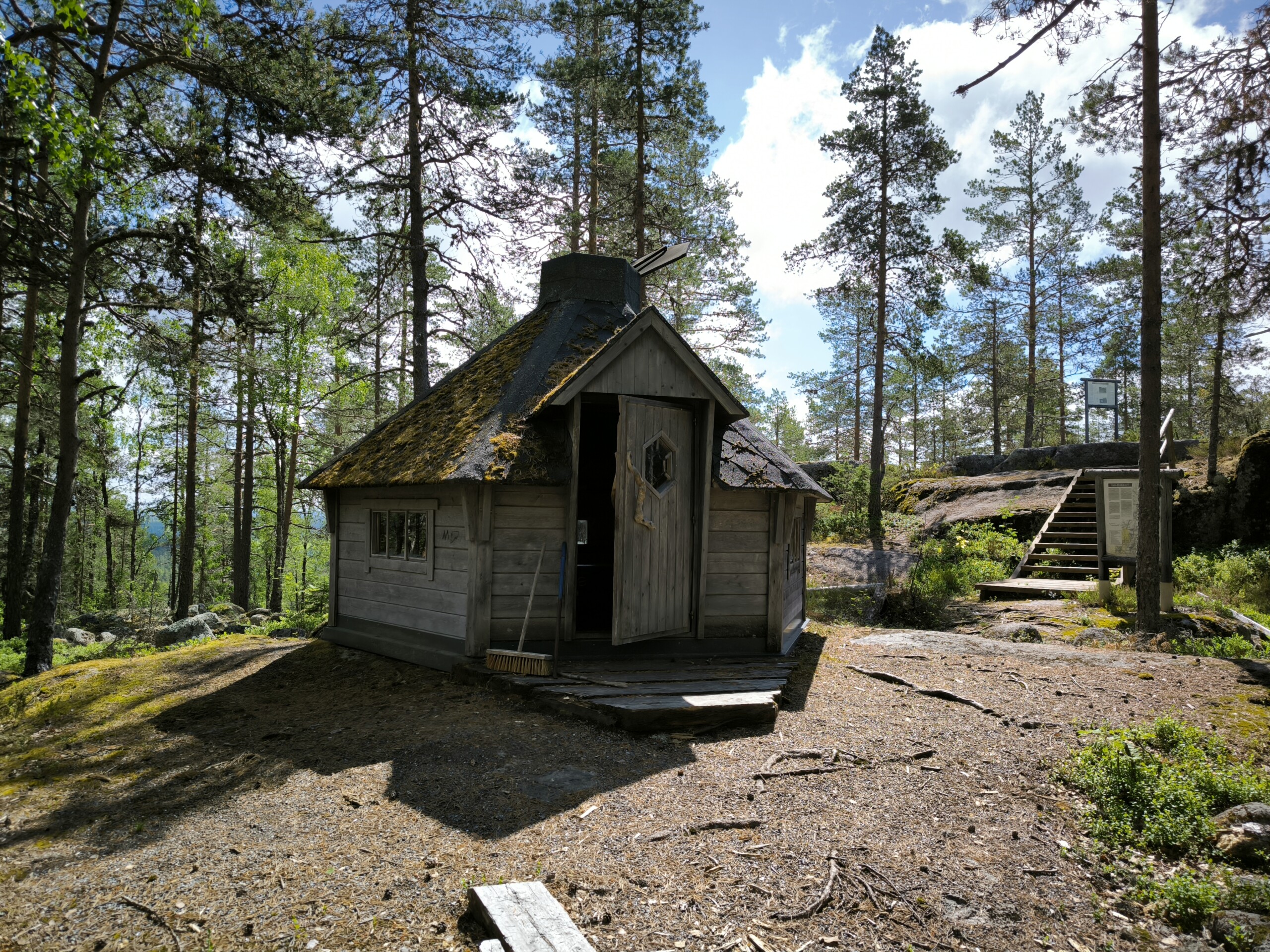
Iso-Kakkori’s rocky hiking site has a clean and cosy hut, magnificent cliffs, a small ancient shore called Kivijata, and an observation tower in preparation.
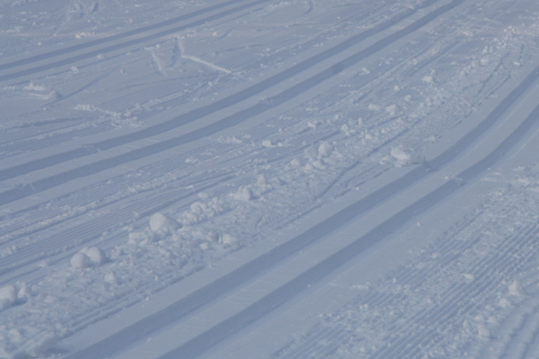
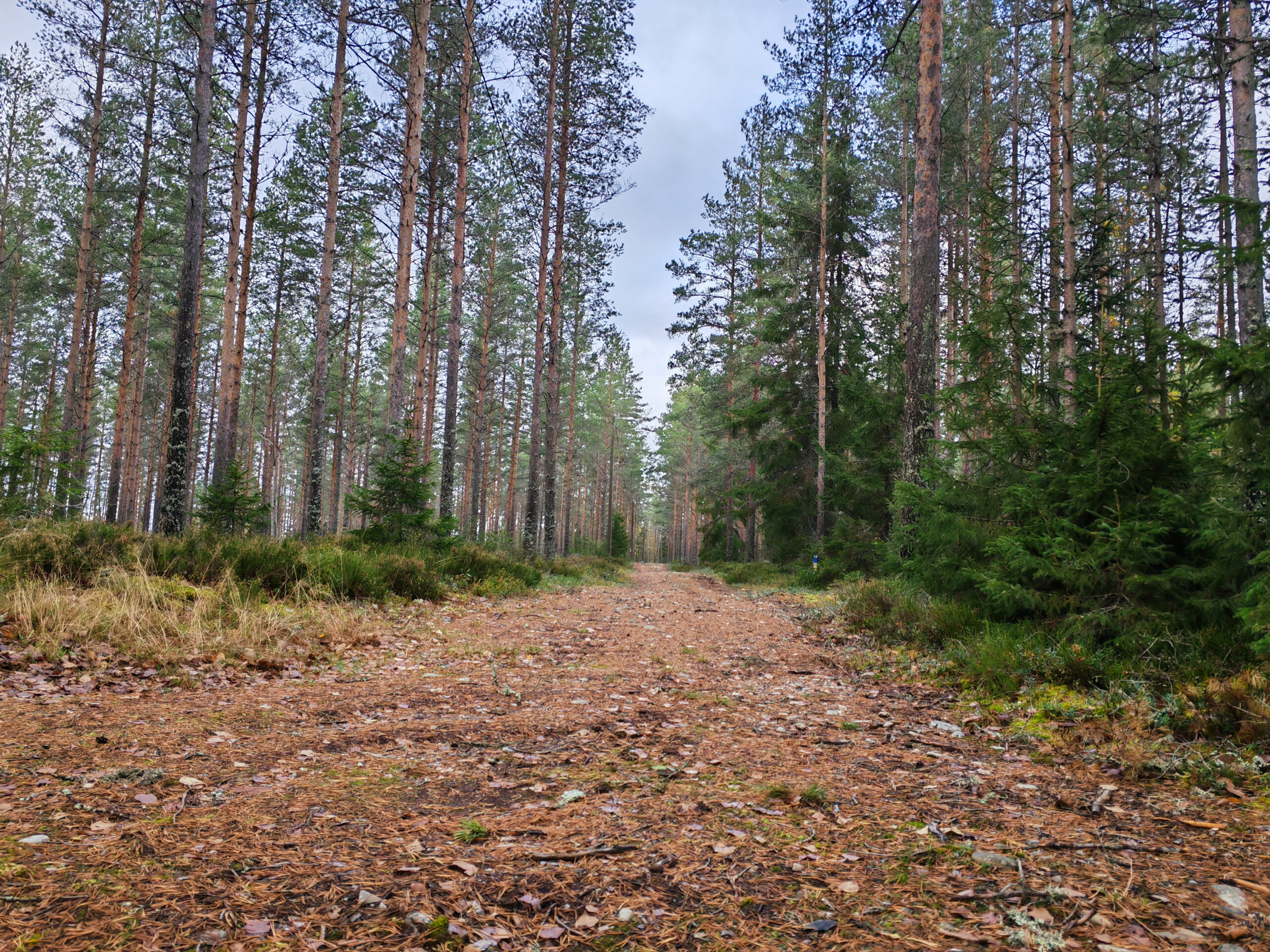
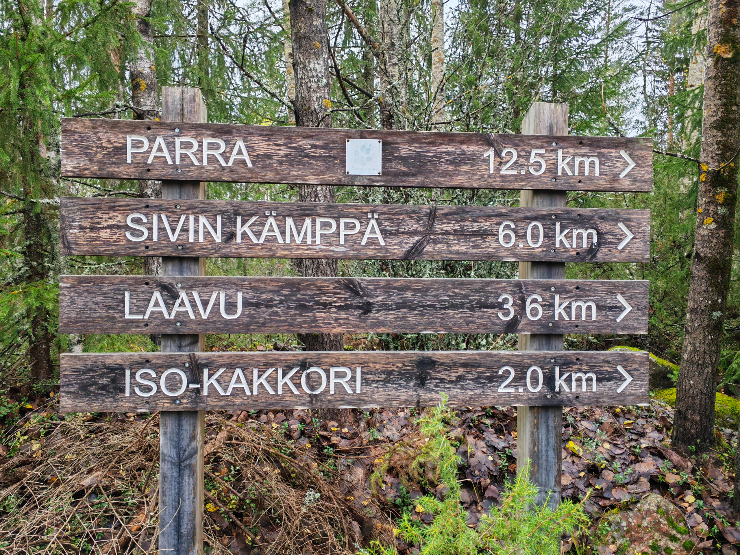
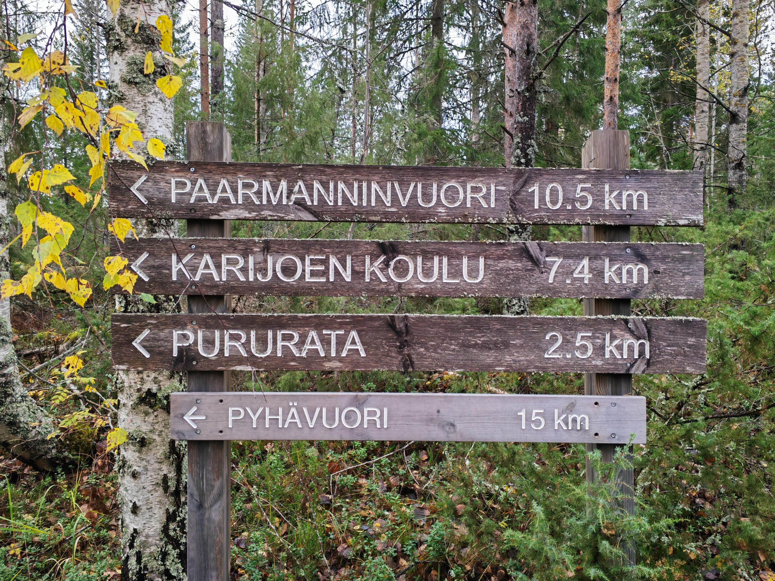
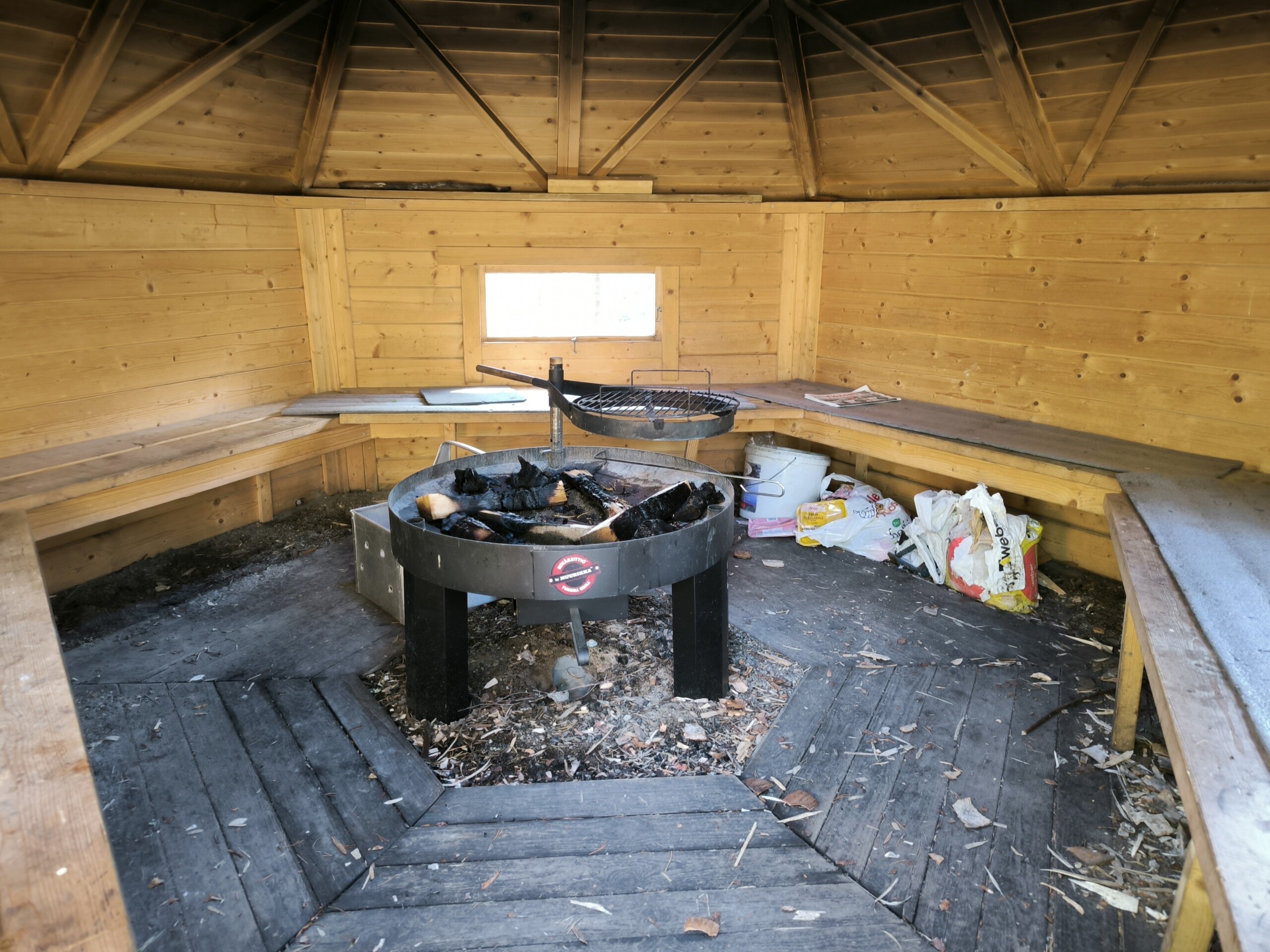
The map link gives directions to the Kakkori cabin, where you can find a two-kilometre path to the top of Iso-Kakkori. Near the Kakkori cabin, along the fitness track, you will find a lean-to shelter suitable for sausage roasting (remember to bring your own firewood with you). In snowy winters, the Kakkori ski lodge has a 2.5 kilometre ski track. Along the comprehensive network of unlit trails, you can access, for example, the Karijoki school, the Paarmanninvuori hill, Parra, and Sivi’s cabin. The terrain ranges from forest to rocks and fields.
The destination is located in the Muinaisvuori trails that connect Teuva and Karijoki.
Kohteen tiedot päivitetty: 16.5.2024