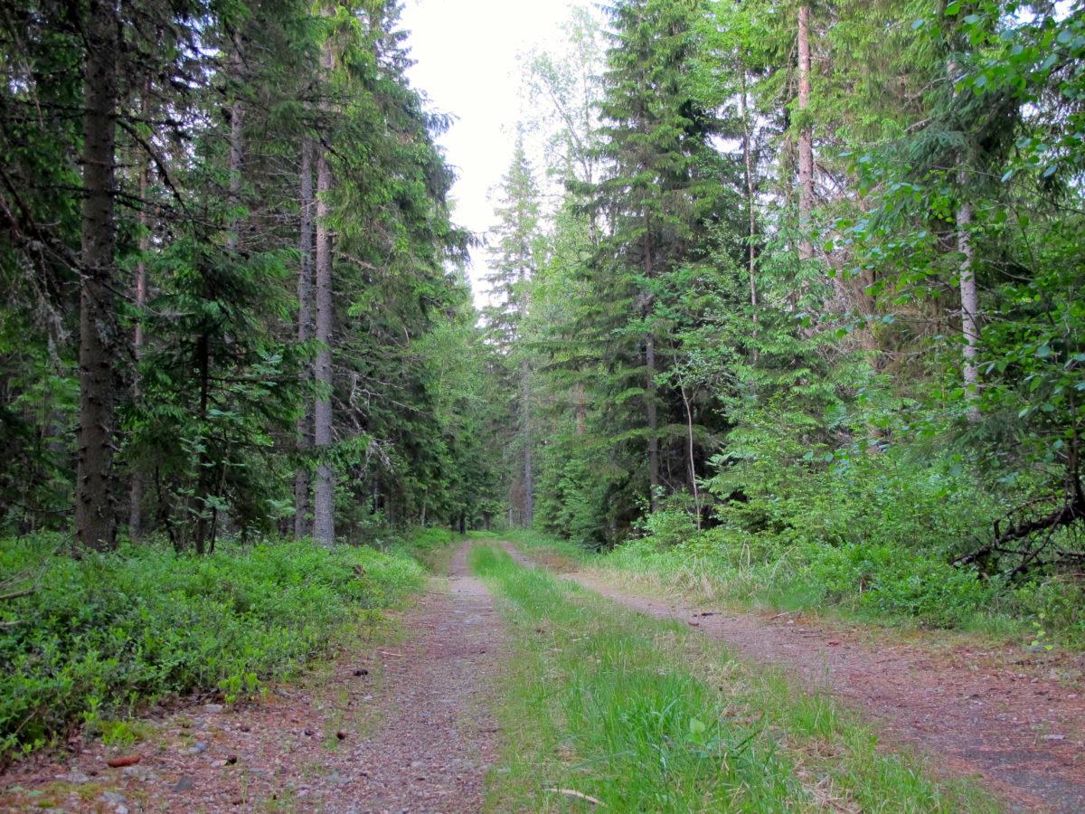
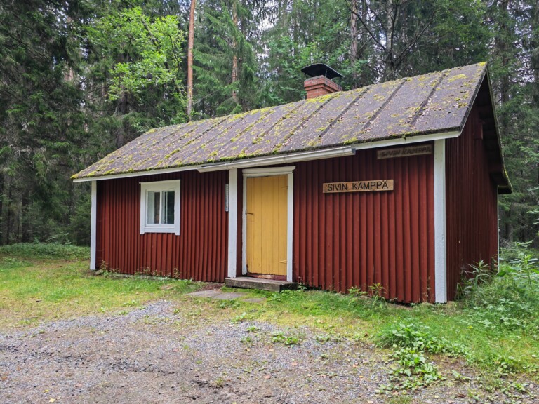
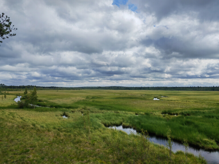
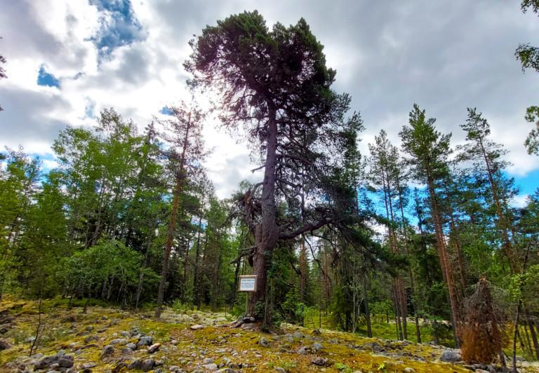
The 12 km route is suitable for walking in the summer and for skiing in the snowy winter. The route starts at the school in the centre of Karijoki and ends at Sivi open wilderness hut. The route runs on footpaths, roads, and small roads that have been levelled to form bogs. Around Lake Peurajärvi, the route crosses swamps that are sometimes difficult to cross. The route base is modest in other places as well.
Lake Peurajärvi has a public beach, a gazebo, a campfire place, and a latrine. Korpinpesä lean-to shelter, Kakkorinmaja lean-to shelter, and both Sivi lean-to shelter and the Sivi open wilderness hut are on the route.
A cosy hut and an observation tower can be found on top of Iso-Kakkori. The cliffs offer great views of the surrounding landscape, so climbing up is worthwhile. The route is a part of the Muinaisvuori trail that connect Teuva and Karijoki. From here, you can also continue to other hiking routes of the Muinaisvuori trails.
Kohteen tiedot päivitetty: 11.3.2025


