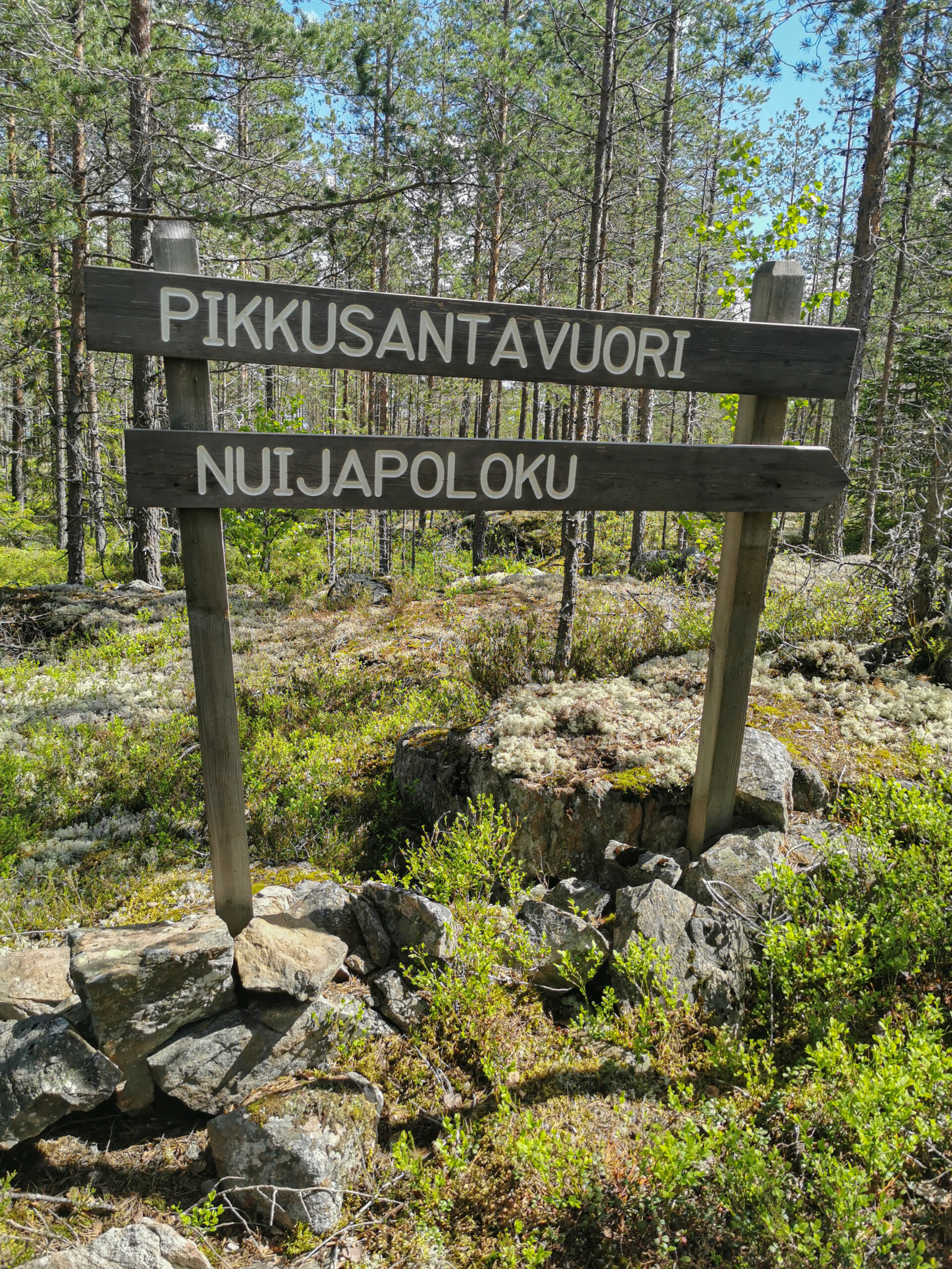
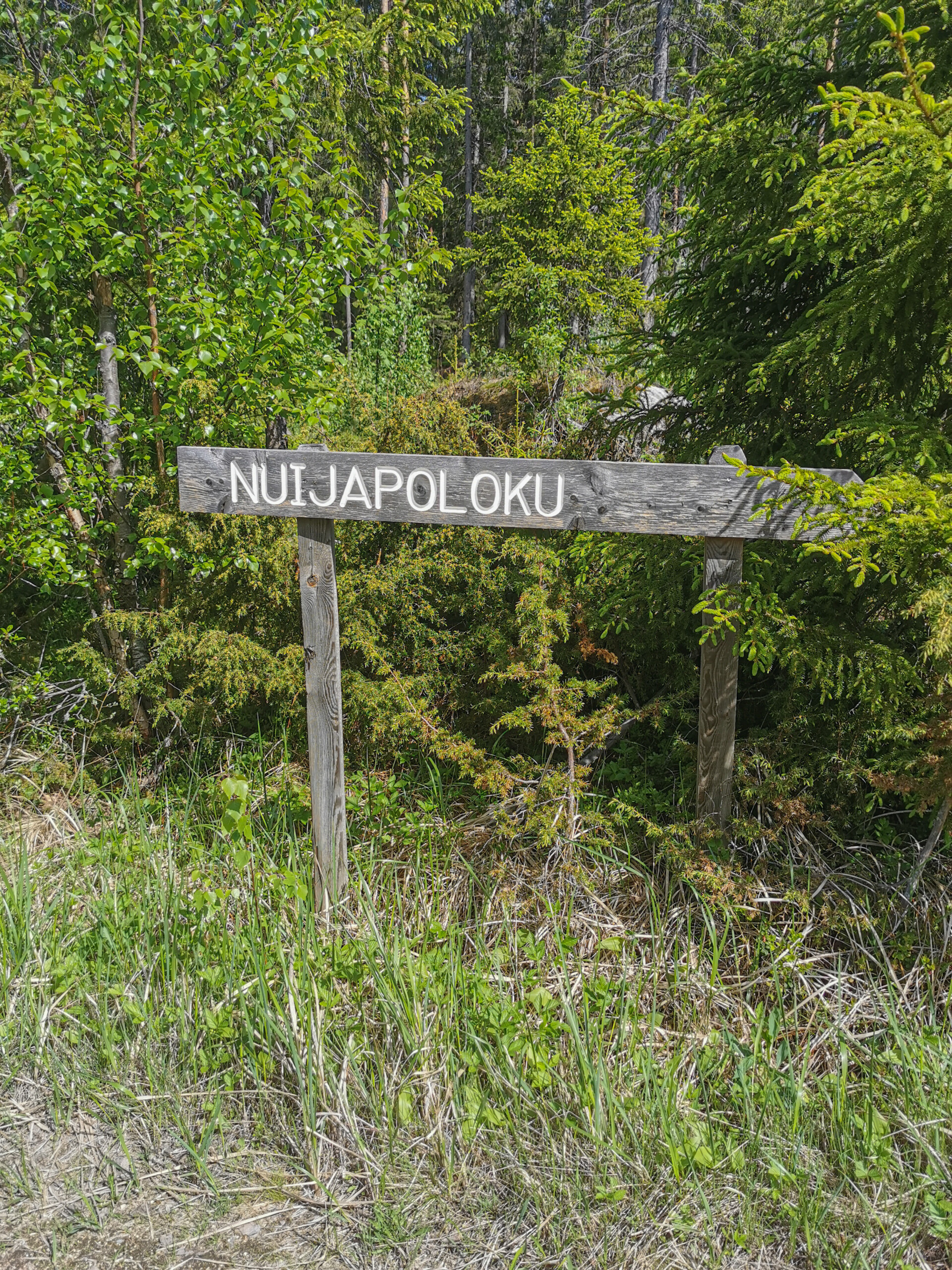
The Nuijapoloku trail is located in the village of Tuiskula in Kurikka. The Nuijapoloku trail serves as a reminder of the peasant rebellion that broke out in Ostrobothnia at the end of the 16th century. In Ostrobothnia, the rebellion, known as the Battle of Santavuori hill, culminated in the King’s cavalry defeating the rebellious peasants.
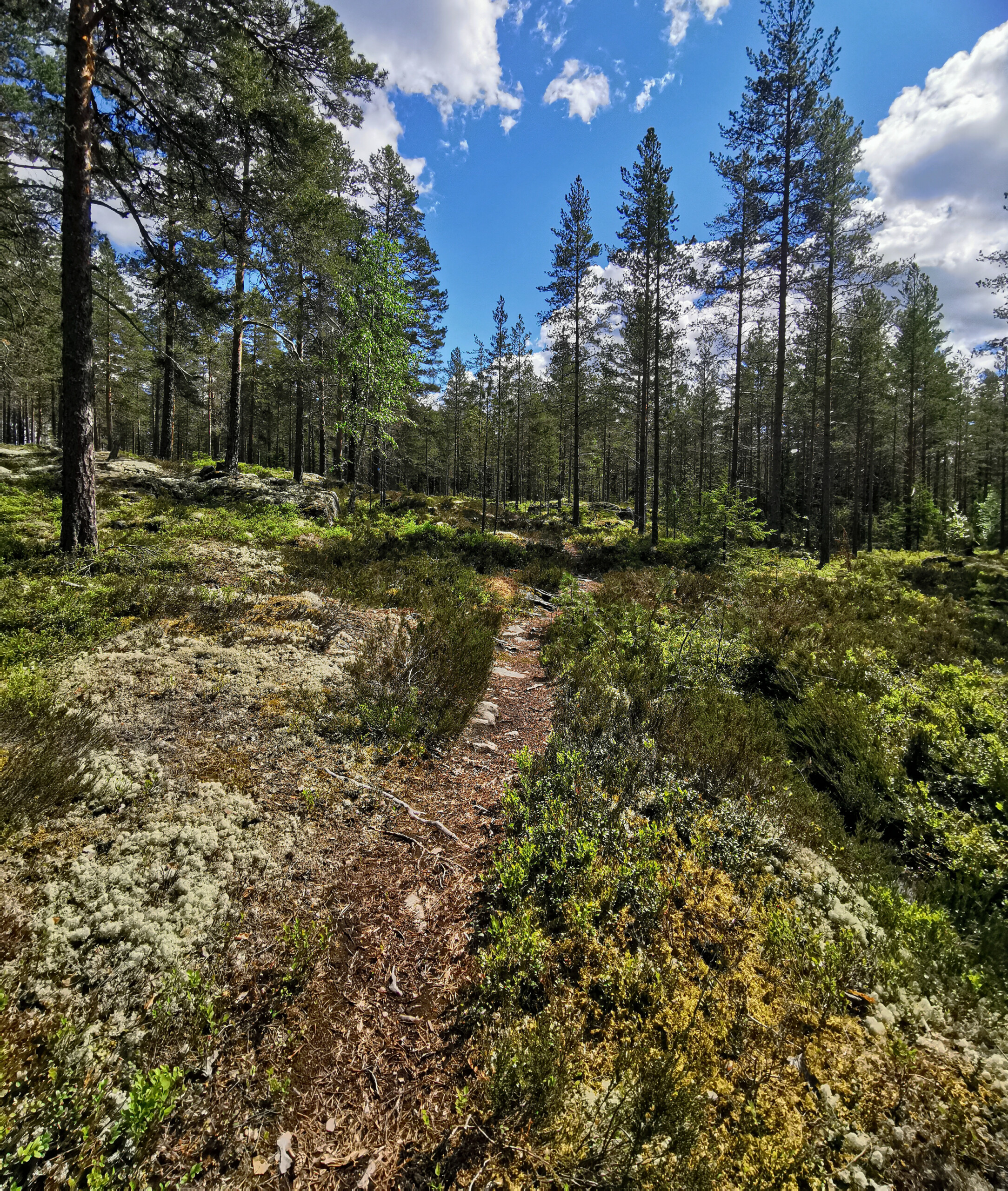
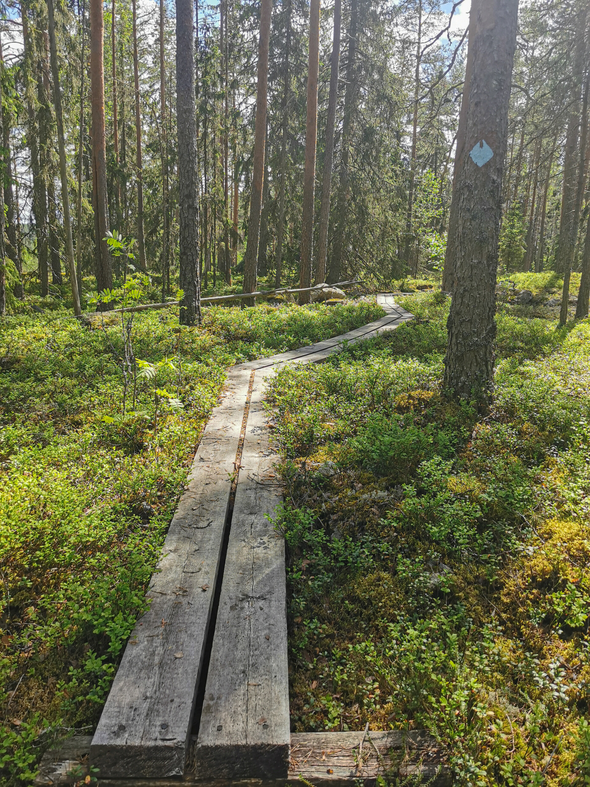
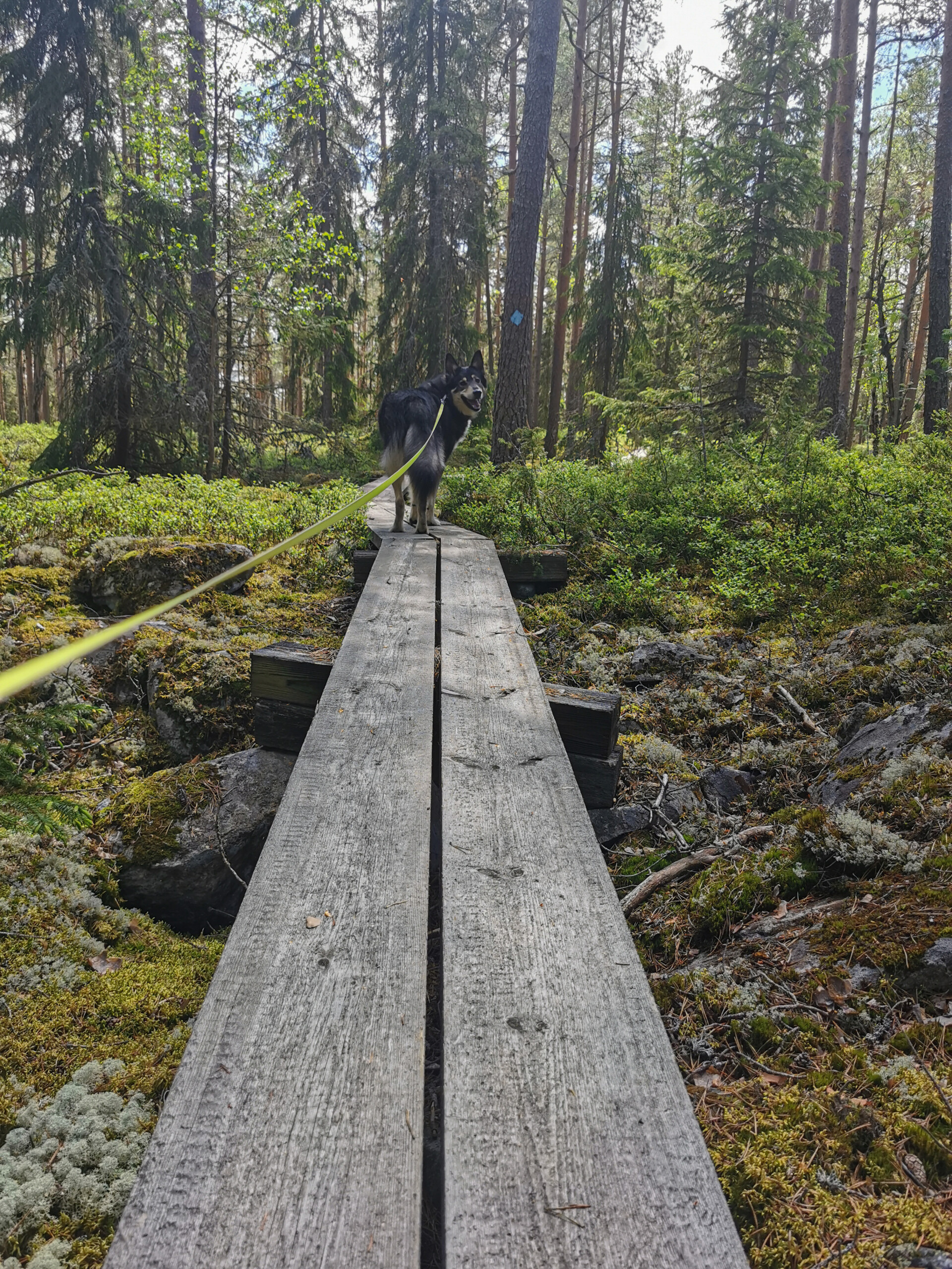
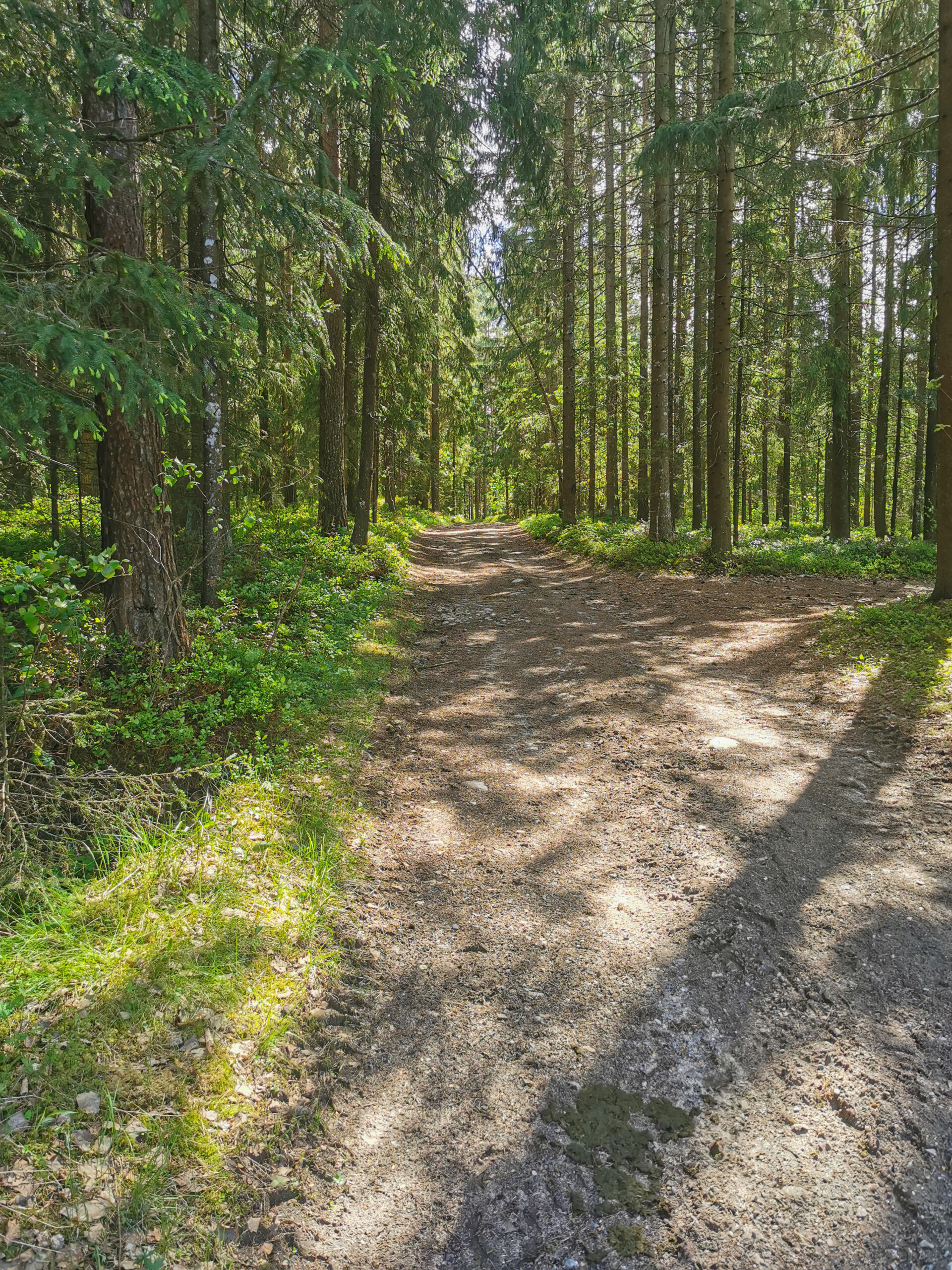
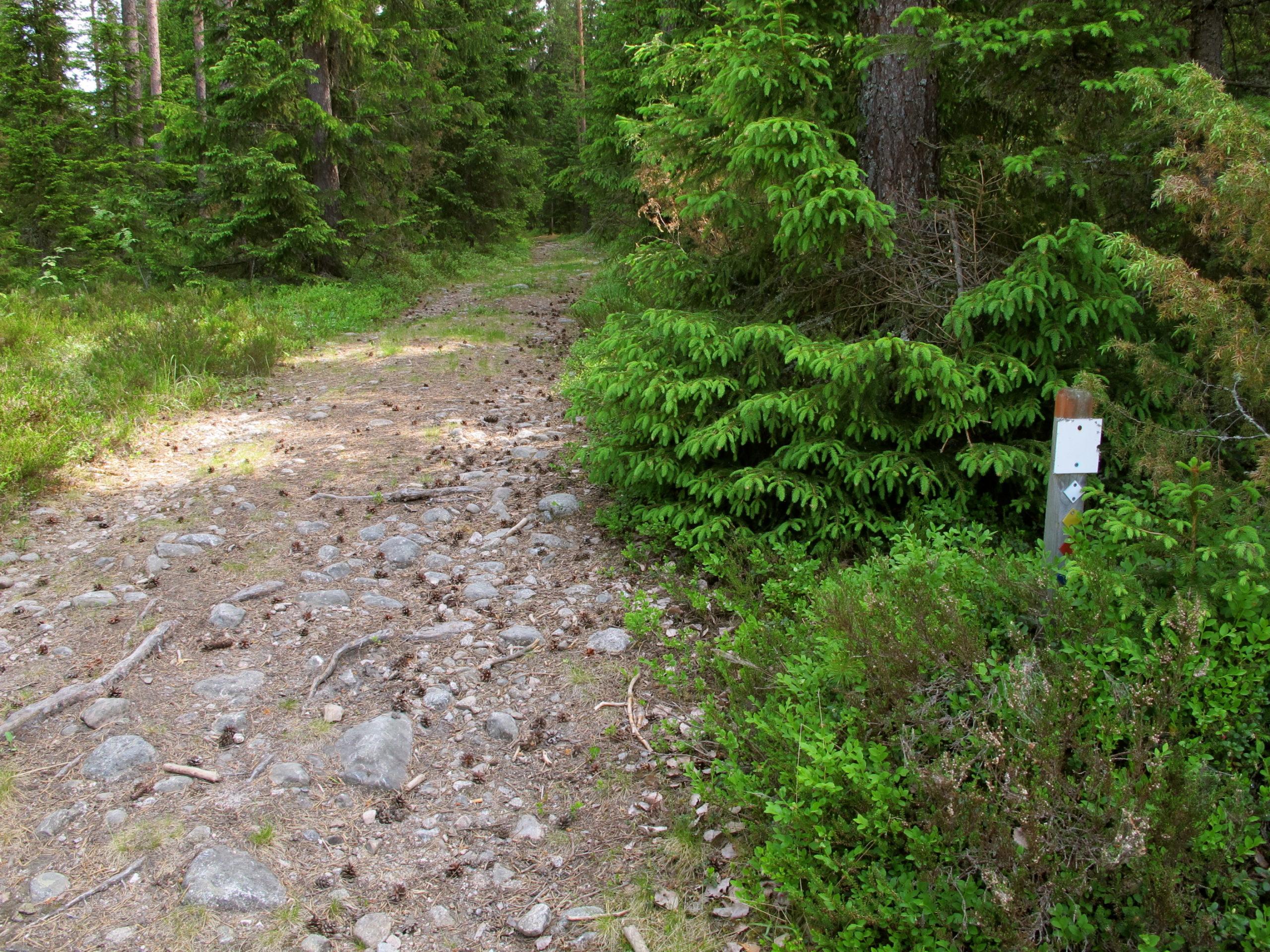
The trail is marked on the terrain with a blue diamond pattern and in some places with signposts. Much of the trail consists of paths and forest roads that are in good condition and easy to walk on. However, there is also more rocky and challenging terrain on the trail. The Nuijapolku trail is fully accessible by foot. You can also ride a mountain bike on the trail, but you should avoid the rockiest areas if you do not want to carry the bike for a long distance. The route is classified as moderately challenging. There are hiking routes of between 5 and 21 kilometres long. The 5-kilometre trail from Latvaharju runs through a spruce forest to a rocky pine forest, along paths and forest roads. From the Kärrymies starting point, you can go through Poikarämäkkä and Lellunharju to transition to the Ilkka trail. The transition route is marked on the map by a blue line.
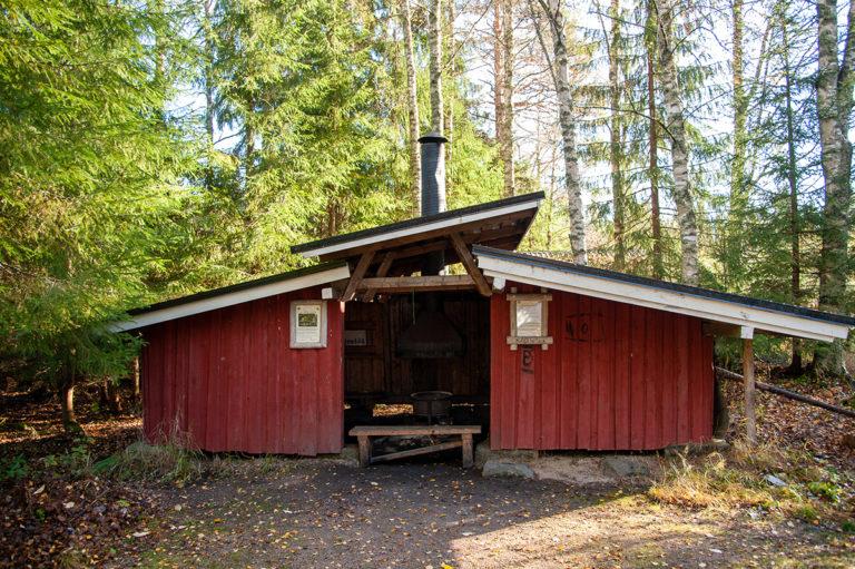
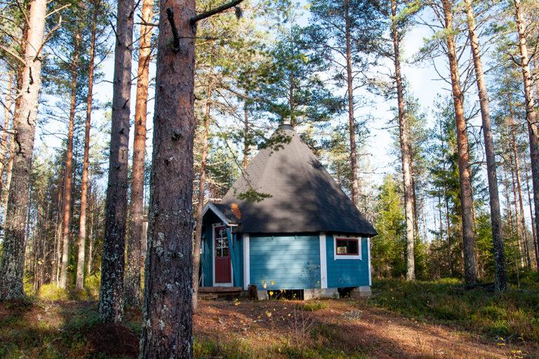
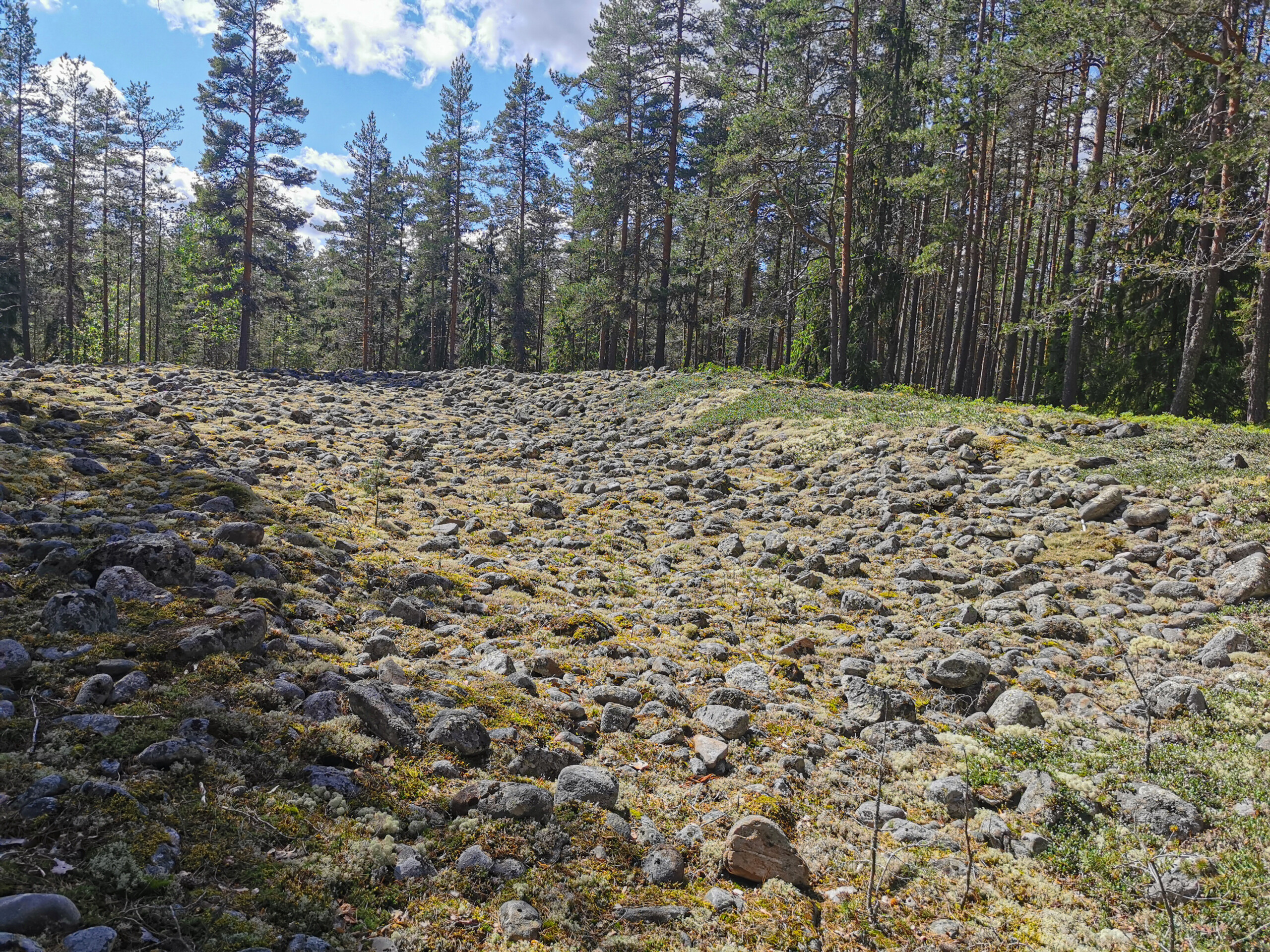
Along the way, you can stop at Lake Morajärvi, Samelinmaja, Leevi’s Hut (Leevin kota), or Poikarämäkkä and cross the Devil’s Field on small Santavuori hill. There is a connection from the Nuijanpolku trail to the Ilkka trail, which leads to Seinäjoki via Ilmajoki. The resting places are not stocked with firewood, so bring your own firewood with you.
Learn more:
Kohteen tiedot päivitetty: 25.6.2024