Ketunlenkki is an approximately 5.5 kilometre-long nature trail near the centre of Kurikka, and some parts of the route run very close to residential areas. The trail can be started at many points, but the official starting point can be found at Jyräntie. That is where you can find a more detailed route map and information board. In the terrain, Ketunlenkki is marked with a light blue diamond pattern, and signposts have been added to intersections to indicate the correct circulation direction.
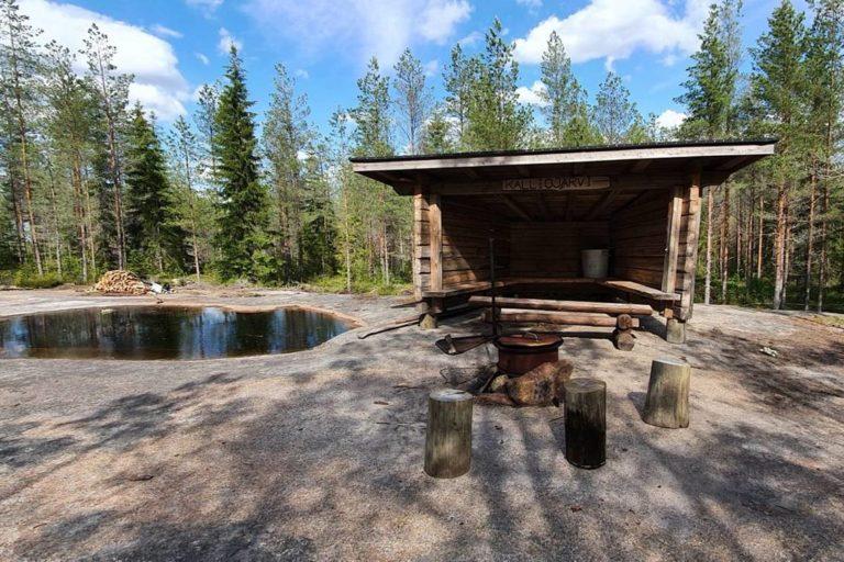
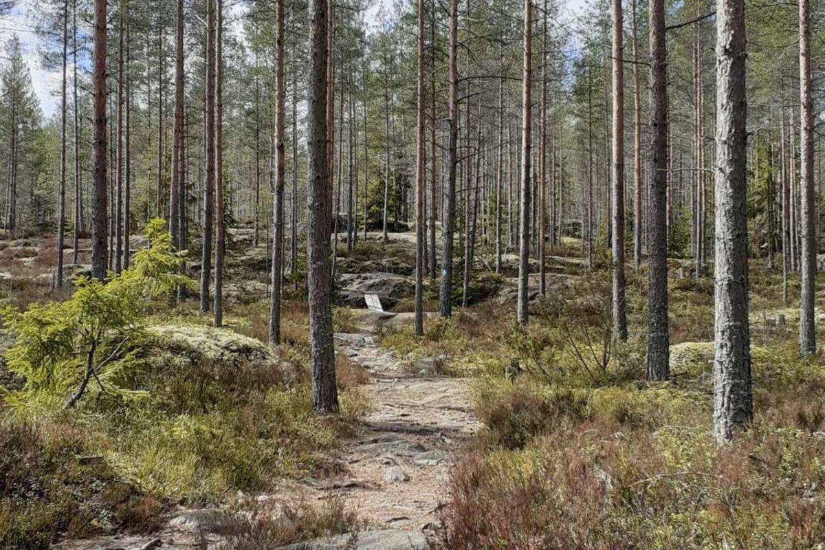
Ketunlenkki runs through beautiful forests and varying terrain, along forest paths that are mainly dry and in good condition. A small stretch of the route runs along actual roads, and you should be careful when crossing roads. There are also some more demanding rocky climbs and damper areas along the route. Duckboards have been built over the dampest part of the route.
Ketunlenkki offers just the right amount of challenge and something to see for everyone. It is suitable for walking, running, and mostly also for mountain biking. When riding a mountain bike, the most challenging part is the ascent to Riuhdankallio, where you may have to shoulder your bike.
Kohteen tiedot päivitetty: 18.6.2024